When data is in "Geographic", it is in spherical coordinates and is not supposed to be published as projected data. However, if you load geographic data into almost any GIS package (except GoogleEarth), it will display as rectangular data!
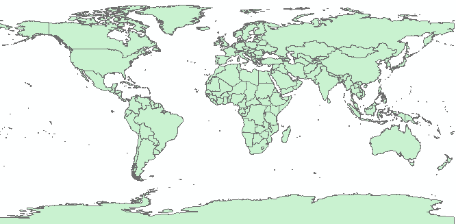
This causes a great deal of confusion and the question is "is this data projected"?
I would argue that the data is geographic data that has been projected to rectangular coordinates without transformation. In other words the transformation is:
Obviously, this is the simplest possible projection method. While data is constantly stored, shared, and viewed in this form, we need to be careful not to do any calculations in this "projection" unless the data is treated as spherical coordinates.
Note: ArcGIS 10 will no longer allow you to compute distances and areas with geographic data. This is better than allowing you to compute them in correctly but it is possible to compute true "ArcDistances" that take the curvature of the earth into account.
© Copyright 2018 HSU - All rights reserved.